Website update
This page is the archival website of Polish Polar Research in the journals.pan.pl service. It is no longer updated and remains available as an archive of previously published volumes and articles.
The current official website of the journal, including latest issues, submission information, editorial policies, author guidelines, and contact details, is available here:
The website address has been changed as part of the modernization of the publishing platform of the Polish Academy of Sciences, aimed at improving the clarity, accessibility, and consistency of journal information.
The quarterly Polish Polar Research edited by the Committee on Polar Research of the Polish Academy of Sciences is an international journal publishing original research articles presenting the results of studies carried out in polar regions.
All papers are peer-reviewed and published in English.
The Editorial Advisory Board includes renowned scientist from Poland and from abroad.
Polish Polar Research is indexed in Science Citation Index Expanded, Journal Citation Reports/Science Edition, Biological Abstracts, BIOSIS Previews, Cold Regions Bibliography, Antarctic Literature, Geological Abstracts, Polish Scientific Journals Contents - Agricultural and Biological Sciences, Quarterly Review, and Zoological Record.
Journal Metrics:
Impact Factor 2022: 1.3
CiteScore metrics from Scopus 2022: 2.4
SCImago Journal Rank (SJR) 2022: 0.288
Source Normalized Impact per Paper (SNIP) 2022: 0.512
CALL FOR PAPERS
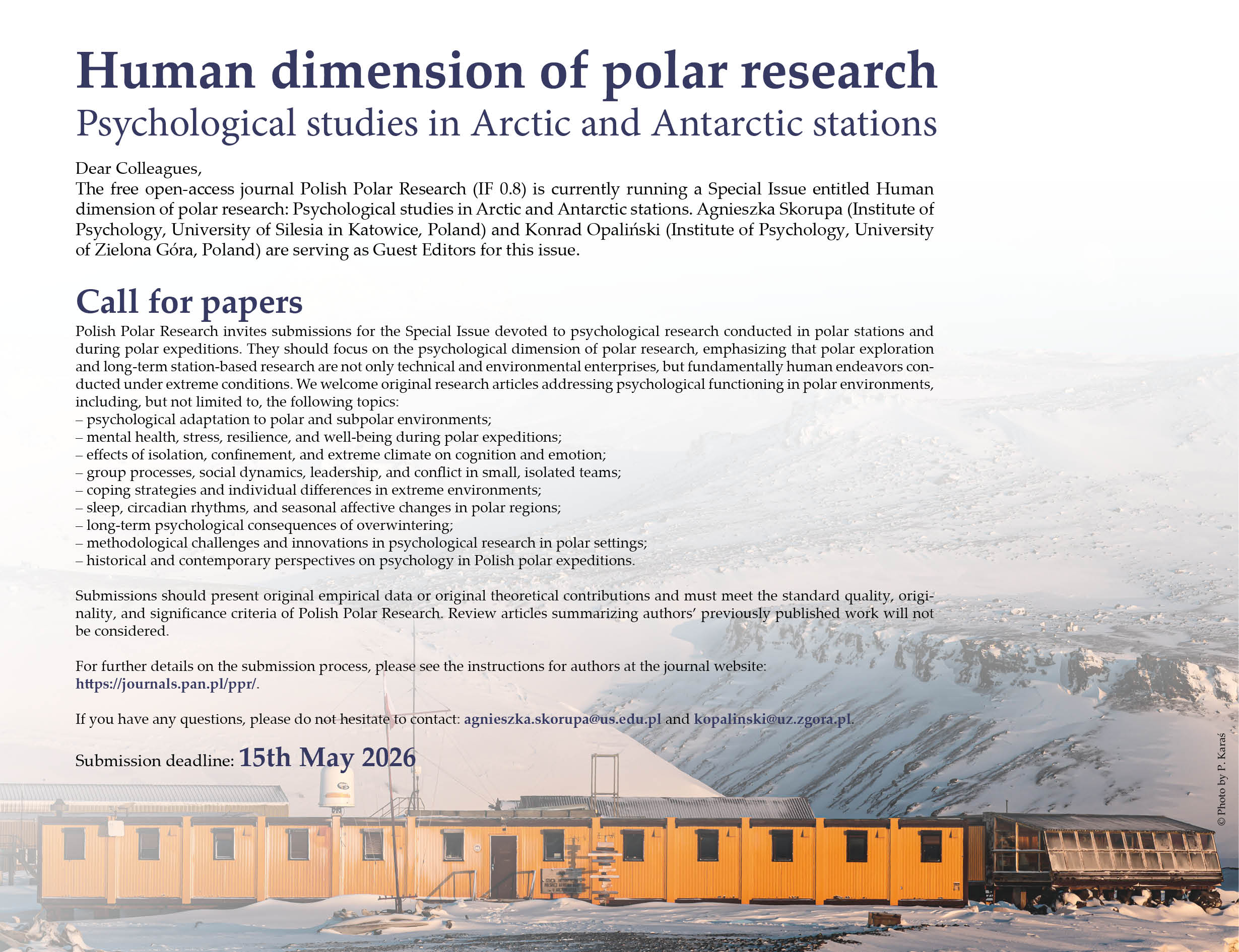
Polish Polar Research invites submissions for the Special Issue devoted to psychological research conducted in polar stations and during polar expeditions. They should focus on the psychological dimension of polar research, emphasizing that polar exploration and long-term station-based research are not only technical and environmental enterprises, but fundamentally human endeavors conducted under extreme conditions. Click the Invitation for more information.
Invitation (click here): Human dimension of polar research
FRAUD NOTICE
We have been made aware of certain fraudulent activities that have been claiming to represent Polish Polar Research. These activities include a fake, predatory website and unsolicited emails. The aim of the fraud is to trick suspected authors/researchers into believing they are communicating with a journal editor in order to obtain their personal information, scientific results and/or money. Polish Polar Research’s name, logo and other information have been used without permission to try to convey authenticity. If you have any concerns or see suspicious communications that reference Polish Polar Research, please report to Editors-in-Chief. Legitimate information regarding Polish Polar Research and its manuscripts can always be found on our website at http://journals.pan.pl/ppr/. We recommend that authors do not respond to any unsolicited offers of manuscript submissions nor enter any monetary agreement.
Polish Polar Research is an open-access journal in which archive issues are freely accessible and articles are published at no cost to authors.